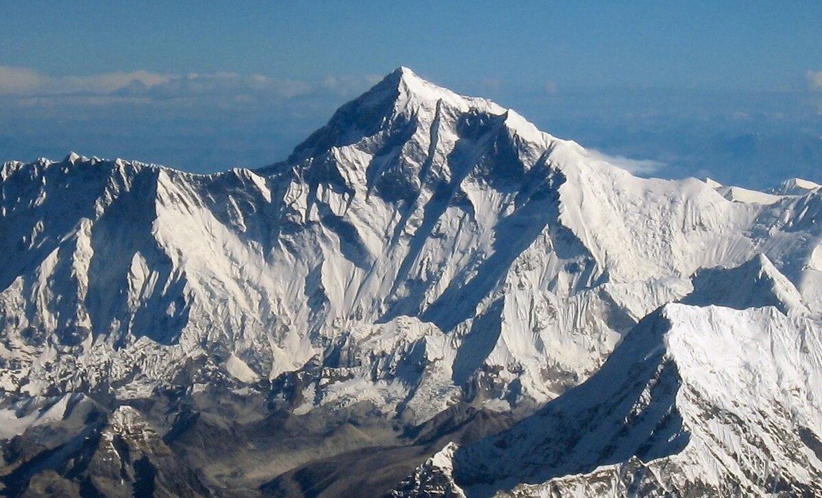
Climbers typically ascend only part of Mount Everest’s elevation, as the mountain’s full elevation is measured from the geoid, which approximates sea level. The closest sea to Mount Everest’s summit is the Bay of Bengal, almost 700 km (430 mi) away. So to approximate a climb of the entire height of Mount Everest, one would need to start from this coastline, a feat accomplished by Tim Macartney-Snape’s team in 1990. Climbers usually begin their ascent from base camps above 5,000 m (16,404 ft).
It’s obvious once you think about it, but at what point would you consider it in daily life?


Funnily enough, the man it was named after was against calling it that. It came about because the Tibetans and Nepalis on either side of the mountain used different names for it (Qomolangma and Sagarmatha respectively), so British surveyors concluded that there was no accepted name to put on a map and they would simply give it a new one. In English. George Everest, the prior top British surveyor in India, objected on the grounds that his name couldn’t be written easily in Hindi, but the Royal Geographic Society ignored him and the used it anyway
Yeah, but you gotta admit, the name is pretty bad ass